


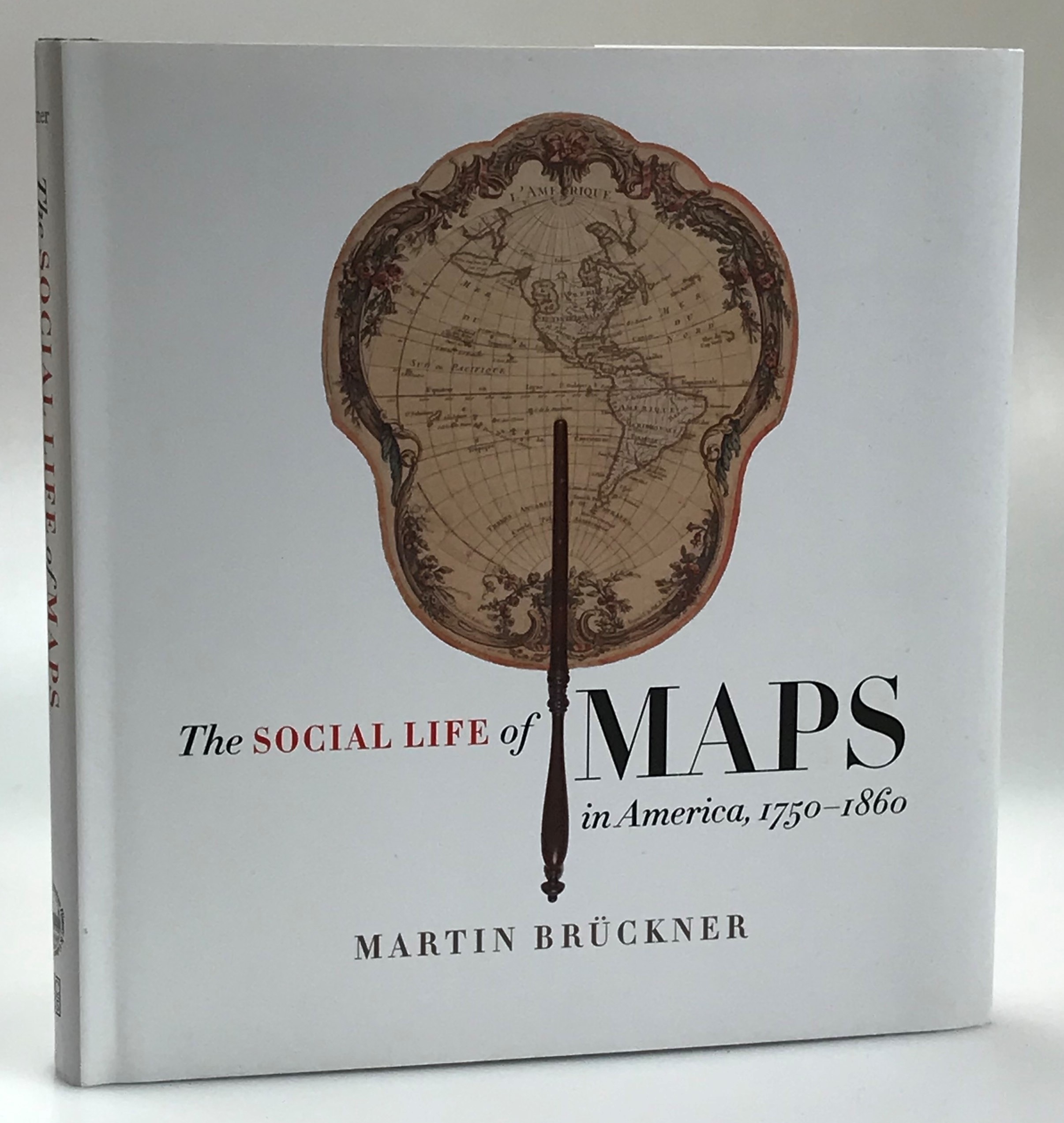
The Social Life of Maps in America, 1750-1860.
Brückner, Martin.
pix60440
Chapel Hill, Omohundro Institute & University of North Carolina Press, 2017. Large 8:o. xvij, (2), 350, (1) pp., (8) pages of plates. Illustrated. Publishers boards with illustrated dust jacket. As new.
400 kr
First edition. Contents: Preface. Introducing the Social Life of American Maps; American Mapworks (The Artisanal Map, 1750-1815; The Manufactured Map, 1790-1830; The Industrial Map, 1820-1860); The Spectacle of Maps (Public Giants; Private Properties; Self-Made Spectacles); The Mobilization of Maps (Looking Small and Made To Go; Cartographhic Transfers); Epilogue. Cartoral Arts and Material Metaphors; Appendix 1. Price Table - Maps and Their Sales Prices, 1755-1860; Appendix 2. Inventory of ‘John Melish Geographer and Map Publisher’; Graphs; Index.
Fler böcker i samma kategori
-

Den svenska boken 500 år.
pix44824150 kr Lägg i varukorg[Järv, Harry (1921-2009)].
pix44824
Uddevalla, Bohusläningens Boktryckeri AB, 1983. 8:o. 424 s. Illustrerad. Trådhäftade med styvt tryckt grönt pappersomslag. Bakre omslag med antydan till vikmärke. -
![Om miniatyrböcker. [Utg. av Sällskapet] Bokvännerna.](http://www.genealogica.com/svaf/15251.jpg)
Om miniatyrböcker. [Utg. av Sällskapet] Bokvännerna.
pix15251100 kr Lägg i varukorgEngström, Gösta (1913-1995).
pix15251
Stockholm, Boktryckeri AB Thule, 1966. 8:o. 71 s. Illustrerad. Trådhäftad med tryckt pappersomslag. -
![Att samla böcker. Samlarteknik och några samlarområden. [Utg. av] Bernces Förlag.](http://www.genealogica.com/svaf/16153.jpg)
Att samla böcker. Samlarteknik och några samlarområden. [Utg. av] Bernces Förlag.
pix16153200 kr Lägg i varukorgLindahl, Per-Erik (1921-2007).
pix16153
Malmö, Beyronds Aktiebolag, 1961. 8:o. 233, (2) s., (4) färgplanscher. Rikt illustrerad. Trådhäftad med styvt tryckt pappersomslag. Delvis ouppskuren.